Scarborough and North York Moors
£28.00
REF = 5217
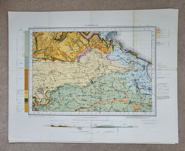
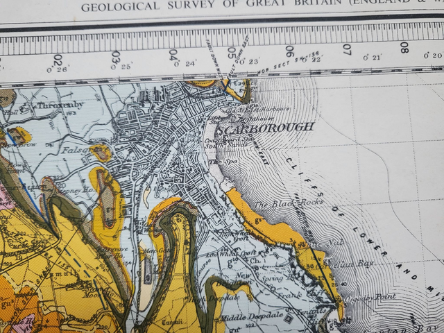
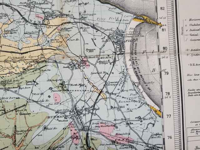
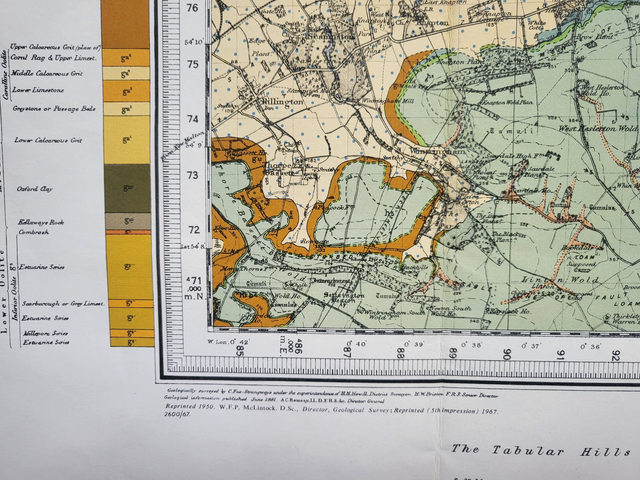
This geological map covers Scarborough, Filey, and the southern part of the North York National Park.
It was published in 1967 by the Ordnance Survey and measures approximately 60 x 50 cm when fully open.
Geological maps are both beautiful and fascinating. They look great when framed and make striking additions to the walls of homes, pubs, offices and restaurants.
This map was folded by its previous owner and will be mailed in folded format in a cardboard-backed envelope.
Price = £28
Includes FREE DELIVERY to UK addresses (Royal Mail Tracked 24)
+++
Please note: authentic antique and vintage maps sometimes have minor blemishes such as: foxing; folds; creases; and stains. Please check the photographs carefully before ordering.
Share