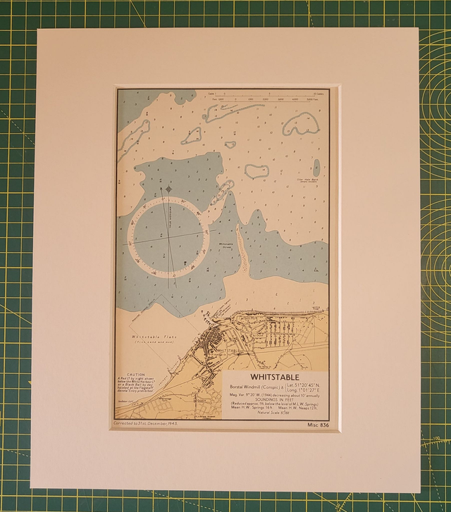
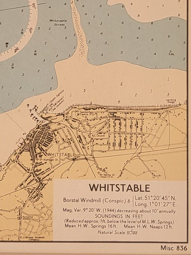
Whitstable (Kent)
£18.00
REF = 17162
This authentic vintage nautical map was published by the British Admiralty in c.1950. It is not explicitly dated, but the bottom left of the map reads: 'Corrected to 31st December 1943,' so it is likely to have been printed a few years after WWII.
It is presented in a 12 x 10 inch mount which will fit neatly into a standard frame.
Price = £18
Includes FREE DELIVERY to UK addresses (Royal Mail Tracked 24)
+++
Please note: authentic antique and vintage maps sometimes have minor blemishes such as: foxing; folds; creases; and stains. Please check the photographs carefully before ordering.
+++
Share