Severn Estuary, Cotswolds, Oxford - Geological
£90.00
REF = 17984
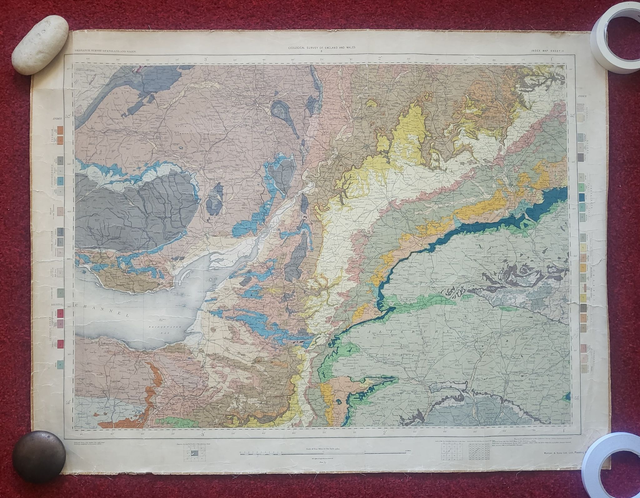
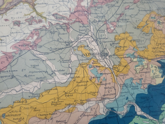
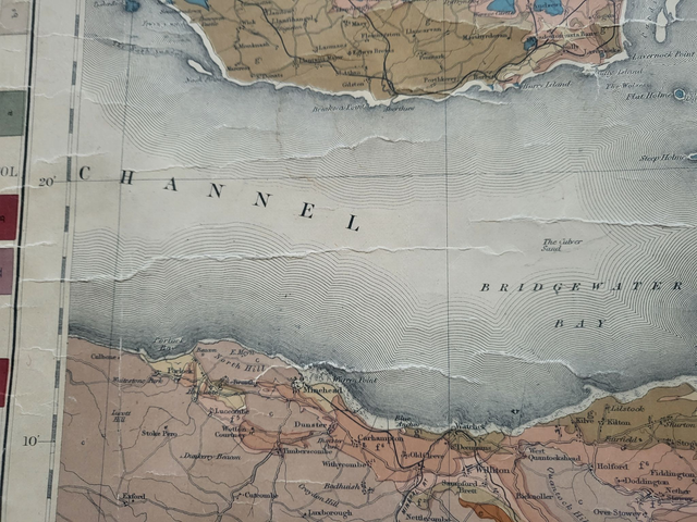
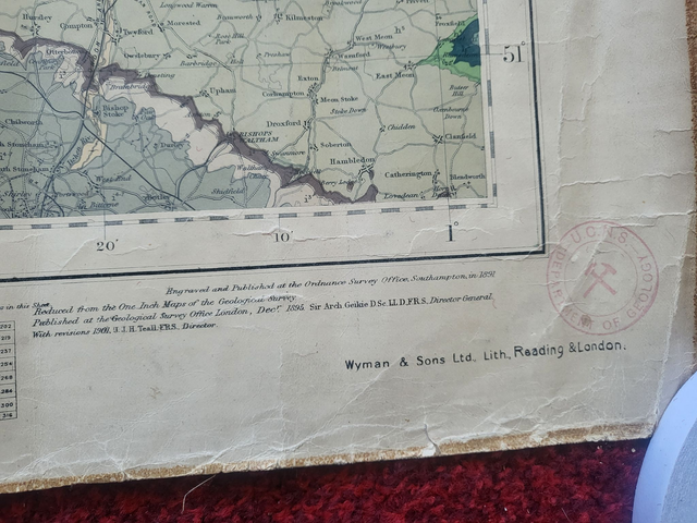
This authentic antique, geological map was published by the Ordnance Survey in 1895.
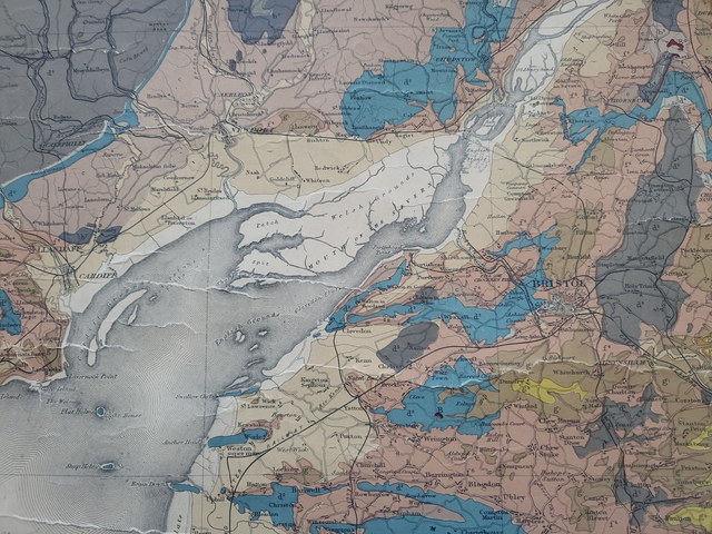
Measuring 88 x 68 cm and mounted on fabric, it covers an area that includes a section of South Wales, the Severn Estuary, Bristol, the Cotswolds and Oxford. It is vibrant and in good condition, but please be aware of the 'cracking' on parts of the surface (see photos 2 and 4 for examples.)
The map will be rolled, and shipped in a cardboard tube.
Price = £90
Includes FREE DELIVERY to UK addresses (Royal Mail)
+++
Please note: authentic antique and vintage maps sometimes have minor blemishes such as: foxing, folds, creases, and stains. Please check the photographs carefully before ordering.
This authentic antique, geological map was published by the Ordnance Survey in 1895.
Measuring 88 x 68 cm and mounted on fabric, it covers an area that includes a section of South Wales, the Severn Estuary, Bristol, the Cotswolds and Oxford. It is vibrant and in good condition, but please be aware of the 'cracking' on parts of the surface (see photos 2 and 4 for examples.)
The map will be rolled, and shipped in a cardboard tube.
Price = £90
Includes FREE DELIVERY to UK addresses (Royal Mail)
+++
Please note: authentic antique and vintage maps sometimes have minor blemishes such as: foxing, folds, creases, and stains. Please check the photographs carefully before ordering.
Share