River Rhine (western Germany)
£32.00
REF = 16711
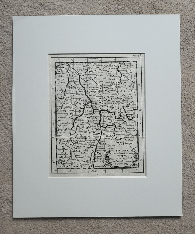
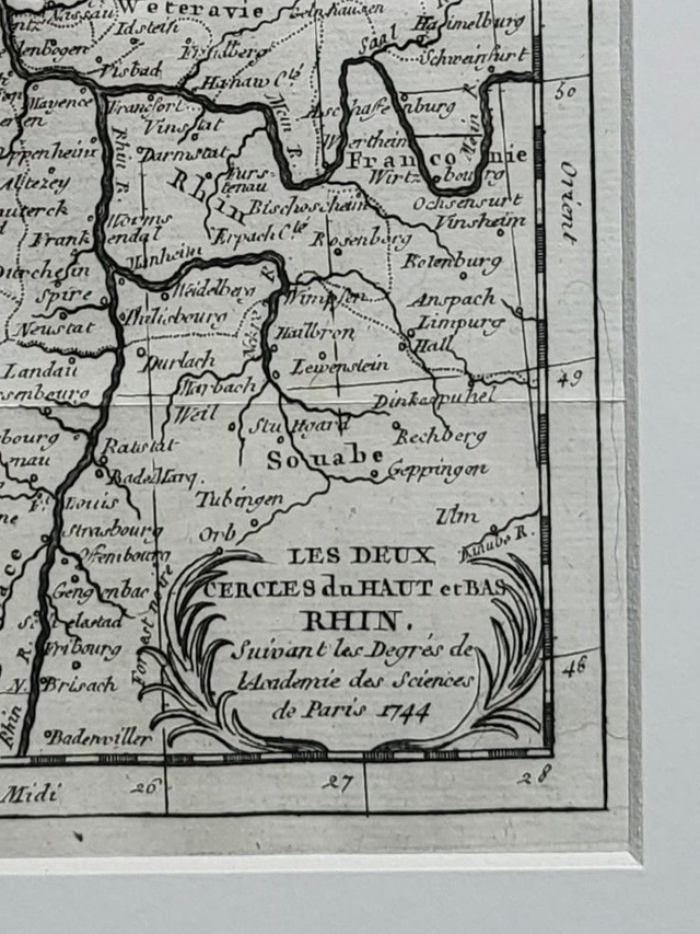
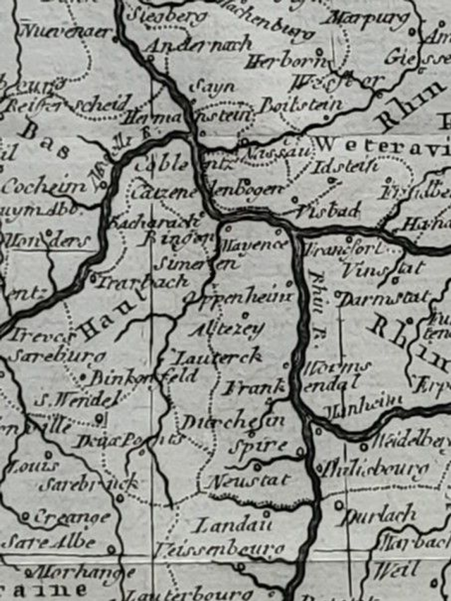
'Les deux cercles du haut and bas Rhin'
This authentic antique map was published in France by Buffier in 1760.
It shows the area surrounding the Middle Rhine, from the confluence with the River Lippe in the north, to Badenweiler in the south.
It is presented in a mount which will fit neatly into a standard 12 x 10 inch frame.
Price = £32
Includes FREE DELIVERY to UK addresses (Royal Mail)
+++
Please note: authentic antique and vintage maps and prints sometimes have minor blemishes such as: foxing, folds, creases, and stains. Please check the photographs carefully before ordering.
Share