River Medway (Kent)
Sold out£18.00
REF = 17155
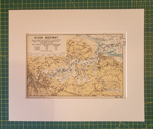
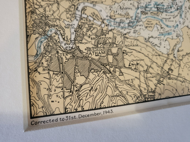
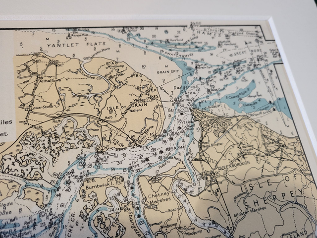
This authentic vintage nautical map shows the lower River Medway, from Rochester to Sheerness and it was published by the British Admiralty in c.1950. It is not explicitly dated, but the bottom left of the map reads: 'Corrected to 31st December 1943,' so it is likely to have been printed a few years after WWII.
It is presented in a 12 x 10 inch mount which will fit neatly into a standard-sized frame.
Price = £18
Includes FREE DELIVERY to UK addresses (Royal Mail Tracked 24)
+++
Please note: authentic antique and vintage maps sometimes have minor blemishes such as: foxing; folds; creases; and stains. Please check the photographs carefully before ordering.
Share