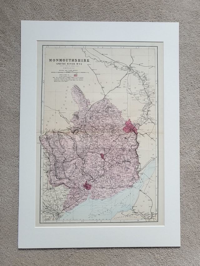
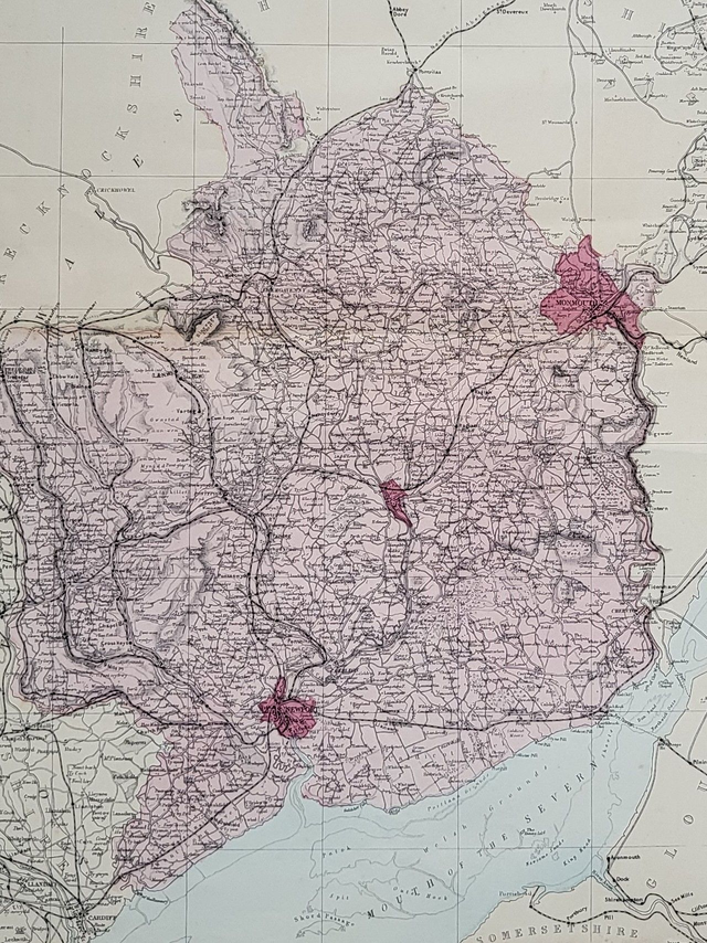
Monmouthshire
£48.00
REF = 14521
This authentic antique map of Monmouthshire (and the River Wye) was published in circa. 1896 by Bacon.
It is presented in a mount which will fit neatly into a standard-sized A2 frame (594 x 420 mm.) This map would be an ideal addition to a home office, an entrance hall or a kitchen/diner.
Price = £48
Includes FREE DELIVERY to UK addresses (Royal Mail Tracked 24)
(To prevent bending in transit, this map will be packed with a piece of 3mm hardboard.)
+++
Please note: authentic antique and vintage maps sometimes have minor blemishes such as: foxing, folds, creases, and stains. Please check the photographs carefully before ordering.
Share