Low Countries - 1792 to 1796 (in French)
£68.00
REF = 13983
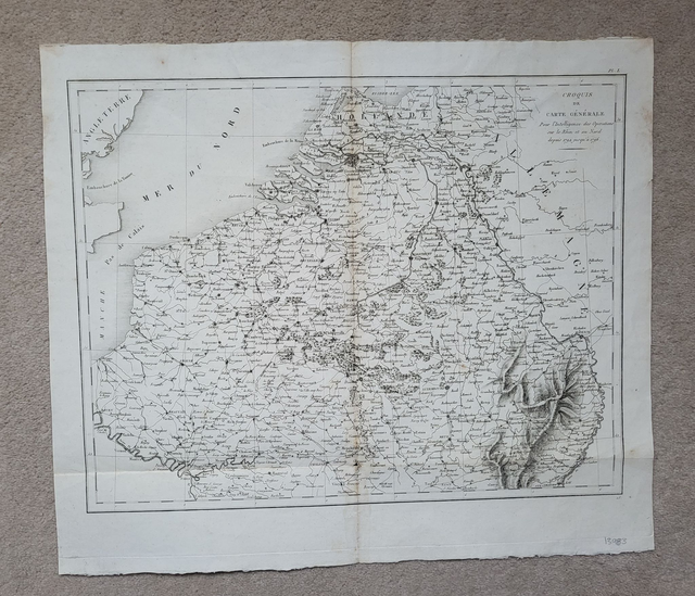
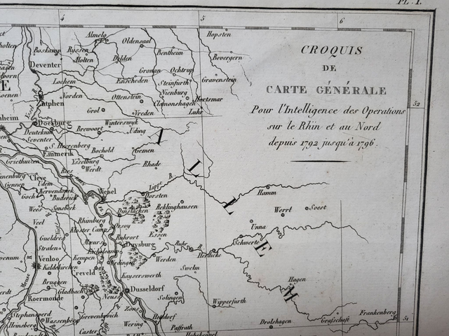
'Croquis de carte générale : Pour l'Intelligence des Opérations sur le Rhin et au Nord depuis 1792 jusqu'au 1796'
This rather intriguing map was printed in the late-18th century by an unknown French publisher.
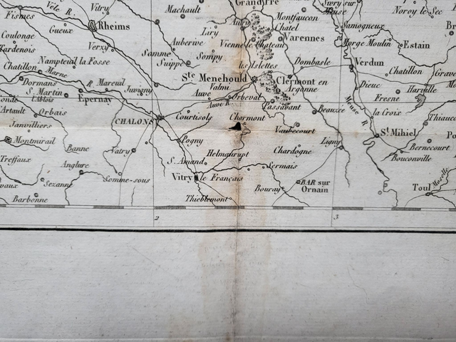
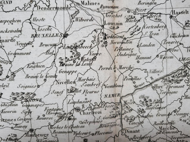
Roughly translated, the title reads: 'A general sketch map for operational intelligence on the Rhine and North between 1792 and 1796.' This covers the early stages of the French Revolutionary Wars, so one can assume that the map had a military purpose.
The map is uncoloured and measures approximately 53 x 46cm. It has an original centre fold and, prior to shipping, it will be folded and then mailed in a cardboard-backed envelope.
Price = £68
Includes FREE DELIVERY to UK addresses (Royal Mail)
+++
Please note: authentic antique and vintage maps sometimes have minor blemishes such as: foxing; folds; creases; and stains. Please check the photographs carefully before ordering.
'Croquis de carte générale : Pour l'Intelligence des Opérations sur le Rhin et au Nord depuis 1792 jusqu'au 1796'
This rather intriguing map was printed in the late-18th century by an unknown French publisher.
Roughly translated, the title reads: 'A general sketch map for operational intelligence on the Rhine and North between 1792 and 1796.' This covers the early stages of the French Revolutionary Wars, so one can assume that the map had a military purpose.
The map is uncoloured and measures approximately 53 x 46cm. It has an original centre fold and, prior to shipping, it will be folded and then mailed in a cardboard-backed envelope.
Price = £68
Includes FREE DELIVERY to UK addresses (Royal Mail)
+++
Please note: authentic antique and vintage maps sometimes have minor blemishes such as: foxing; folds; creases; and stains. Please check the photographs carefully before ordering.
Share