Italy - The Roman Republic (in Dutch)
£42.00
REF = 17233
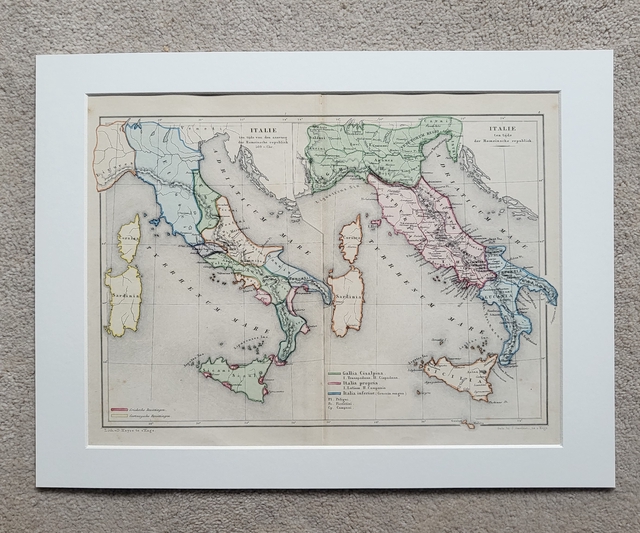
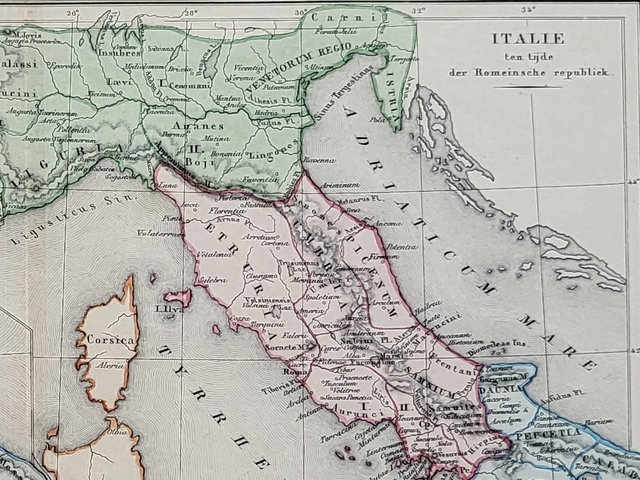
This pair of authentic, hand-coloured antique maps were published in The Hague by J. Smulders and credited to De Erven Thierry en Mensing. The map on the left shows Italy just before the start of the Roman Republic (in 509 BC) and the one on the right shows Italy during the Roman Republic.
The maps are presented in a 16 x 12-inch mount which will fit neatly into a standard-sized frame.
Price = £42
Includes FREE DELIVERY to UK addresses (Royal Mail Tracked 24)
+++
Please note: authentic antique and vintage maps sometimes have minor blemishes such as: foxing, folds, creases, and stains. Please check the photographs carefully before ordering.

Share