England - Southwest
Sold out£40.00
REF = 16862
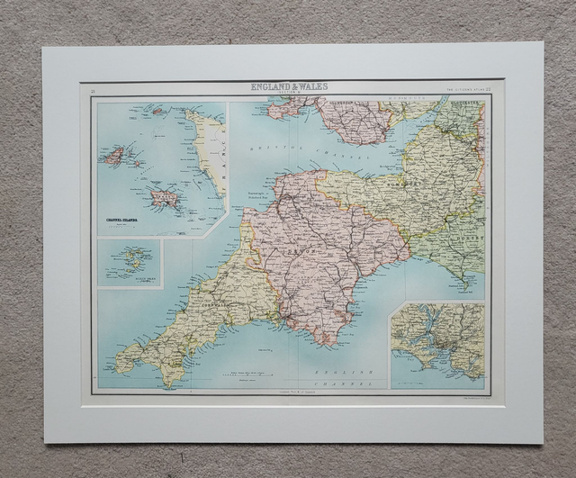
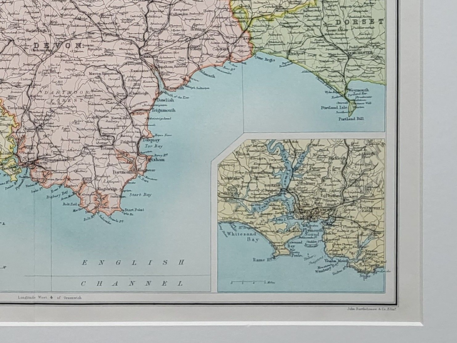
This authentic antique map was published by Newnes/Bartholomew in 1898.
It shows southwest England (part of Dorset, Somerset, Devon and Cornwall) and includes smaller maps of the Scilly Isles, the Channel Islands and Plymouth.
It is presented in a mount measuring 20 x 16 inches which will fit neatly into a standard-sized frame.
Price = £40
Includes FREE DELIVERY to UK addresses (Royal Mail)
(To prevent bending in transit, this map will be packed with a piece of 3mm hardboard.)
+++
Please note: authentic antique and vintage maps sometimes have minor blemishes such as: foxing, folds, creases, and stains. Please check the photographs carefully before ordering.
Share