Eastern Mediterranean (in German)
Sold out£28.00
REF = 17225
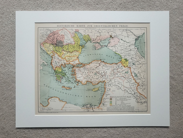
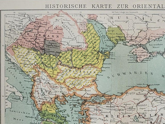
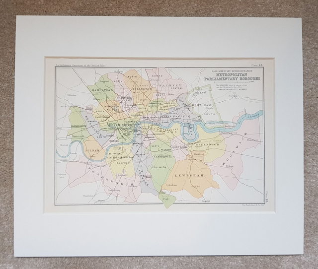
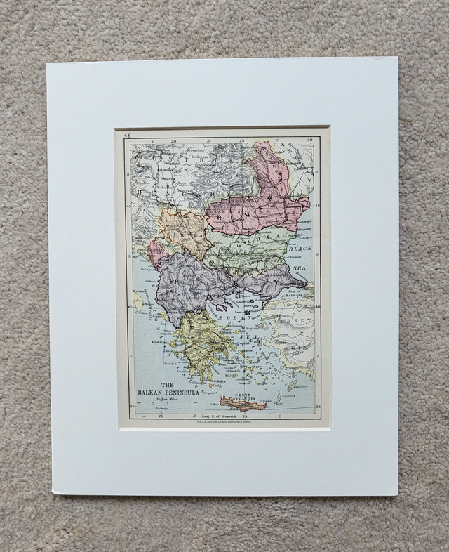
This authentic antique map was published by Brockhaus in Germany in circa. 1895. It shows the development of the Ottoman Empire from the 17th to late 19th-century.
It is presented in a 16 x 12-inch mount which will fit neatly into a standard-sized frame.
Price = £28
Includes FREE DELIVERY to UK addresses (Royal Mail)
+++
Please note: authentic antique and vintage maps sometimes have minor blemishes such as: foxing, folds, creases, and stains. Please check the photographs carefully before ordering.
Share