
British Isles - Political
£95.00
REF = 17153
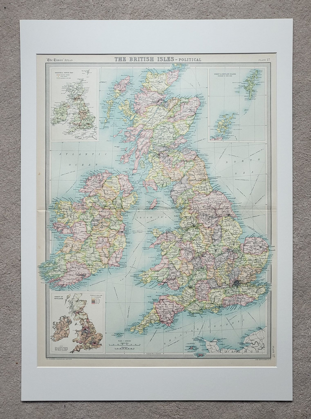
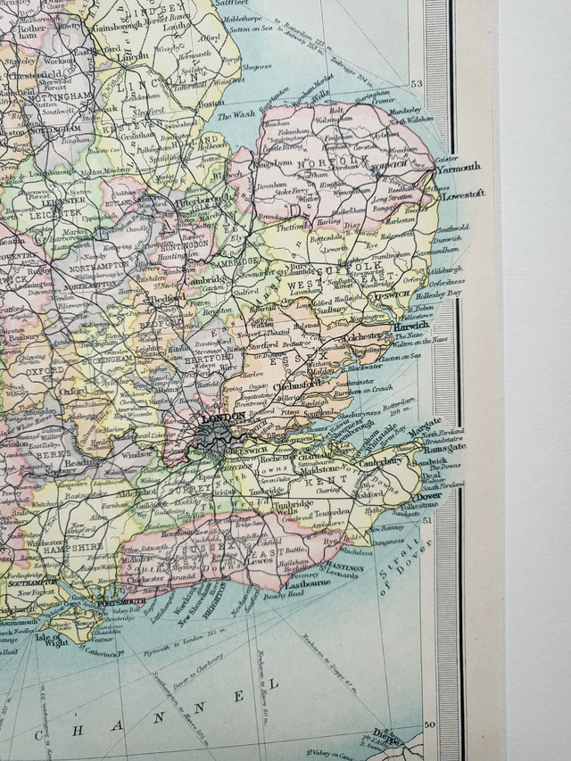
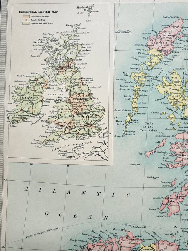
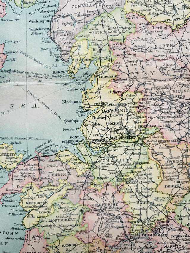
This large, colourful and detailed map of the British Isles was published in 1922 by The Times. It shows the administrative counties of Great Britain and Ireland, and it incorporates two smaller maps in the corners (population density and industrial areas.)
It is presented in a mount which will fit neatly into a standard-sized 70 x 50 cm frame. This map would be an ideal addition to a home office, an entrance hall or a kitchen/diner.
Price = £95
Includes FREE DELIVERY to UK addresses (Royal Mail Tracked 24)
(To prevent bending in transit, this map will be packed with a piece of 3mm hardboard.)
+++
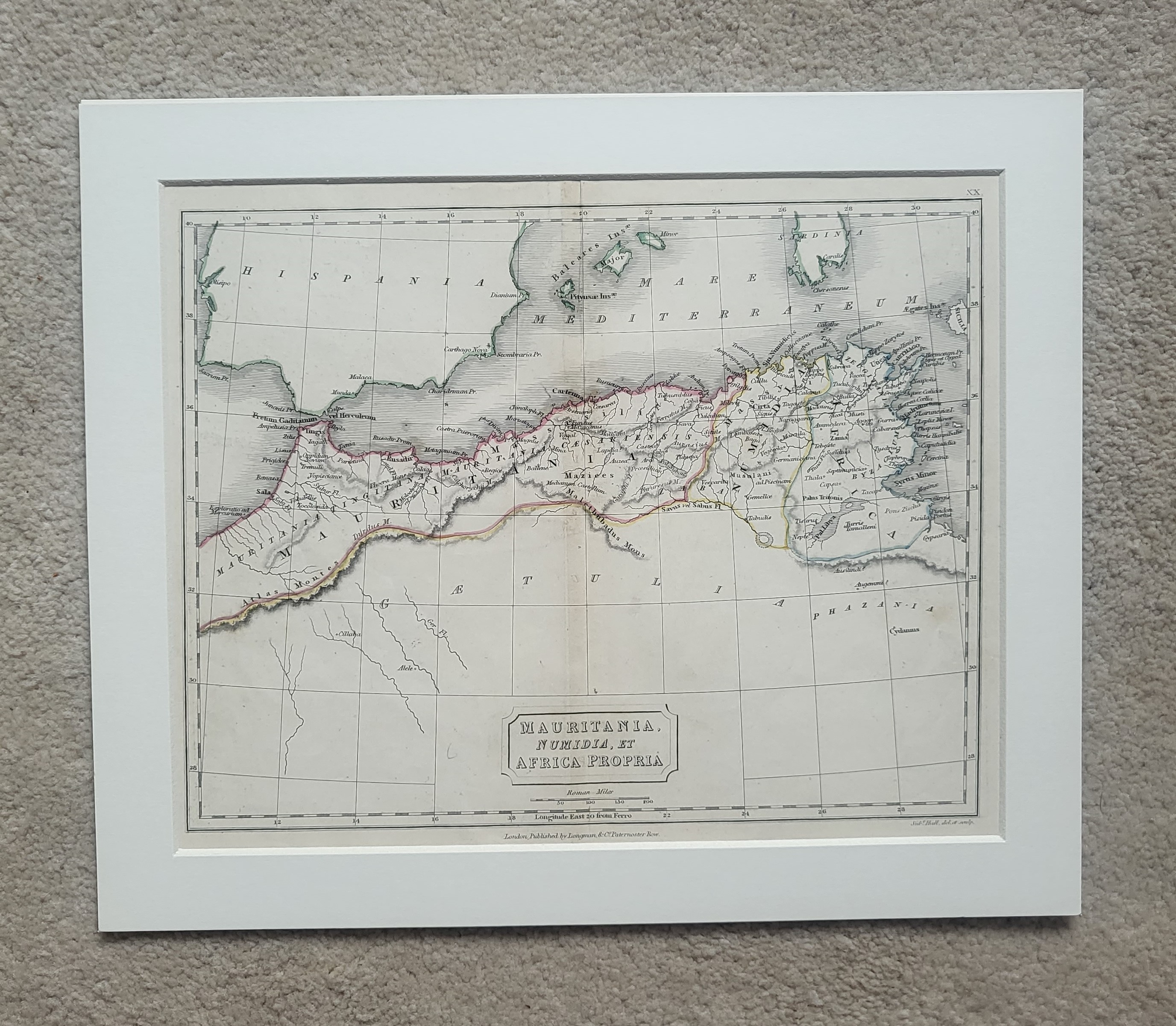
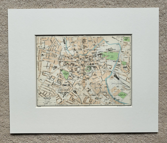
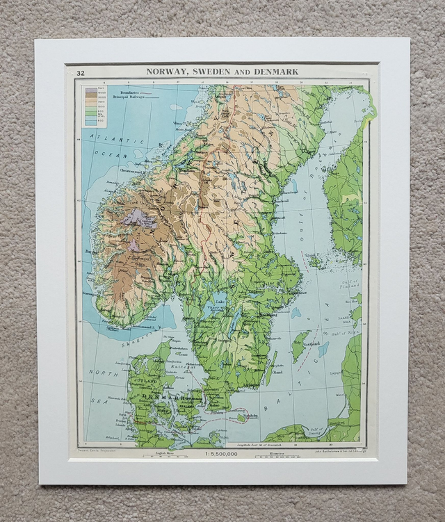
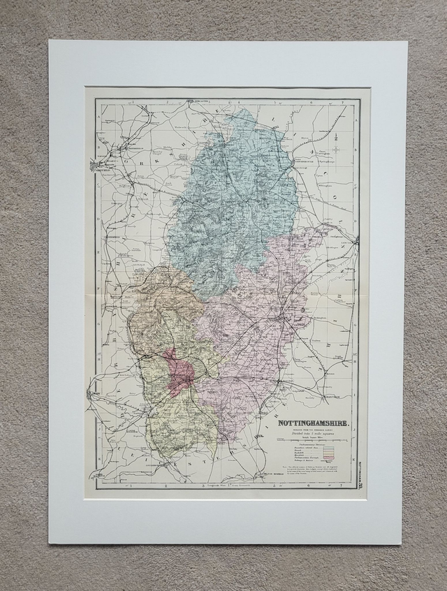
Please note: authentic antique and vintage maps sometimes have minor blemishes such as: foxing; folds; creases; and stains. Please check the photographs carefully before ordering.
This large, colourful and detailed map of the British Isles was published in 1922 by The Times. It shows the administrative counties of Great Britain and Ireland, and it incorporates two smaller maps in the corners (population density and industrial areas.)
It is presented in a mount which will fit neatly into a standard-sized 70 x 50 cm frame. This map would be an ideal addition to a home office, an entrance hall or a kitchen/diner.
Price = £95
Includes FREE DELIVERY to UK addresses (Royal Mail Tracked 24)
(To prevent bending in transit, this map will be packed with a piece of 3mm hardboard.)
+++
Please note: authentic antique and vintage maps sometimes have minor blemishes such as: foxing; folds; creases; and stains. Please check the photographs carefully before ordering.
Share