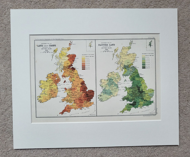
British Isles - Agricultural Land
£27.00
REF = 17115
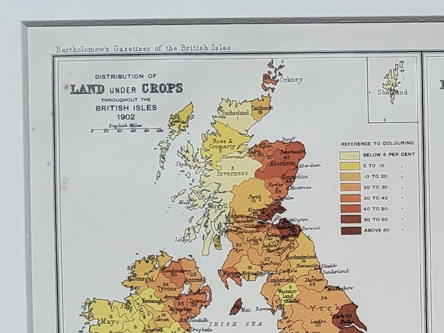
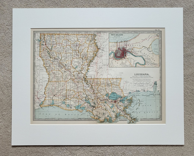
This is an authentic antique map and was published by Bartholomew in 1904. It shows the distribution of agricultural land across the British Isles in 1902 (Land under Crops, and Pasture Land.)
It is presented in a mount and will fit neatly into a standard 12 x 10 inch frame.
Price = £27
Includes FREE DELIVERY to UK addresses (Royal Mail Tracked 24)
+++
Please note: authentic antique and vintage maps sometimes have minor blemishes such as: foxing; folds; creases; and stains. Please check the photographs carefully before ordering.
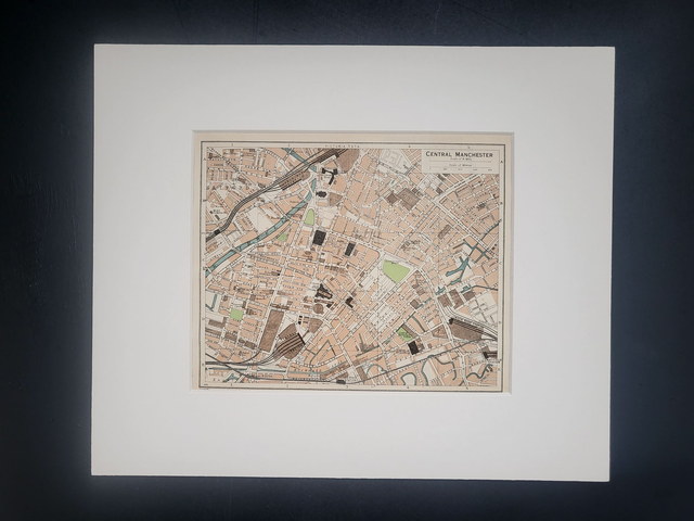
Share