Algiers (in French)
£28.00
REF = 17151
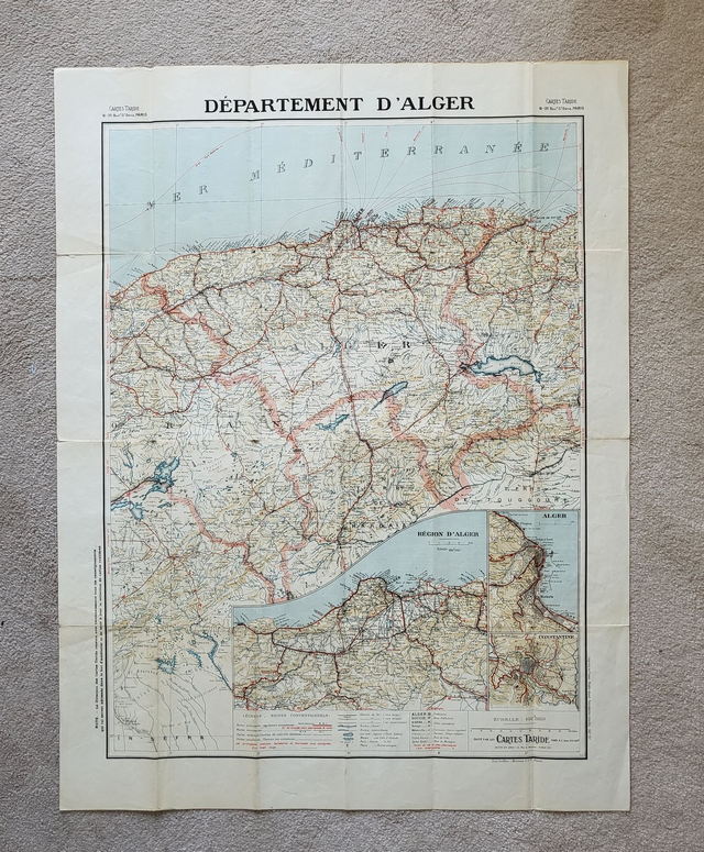
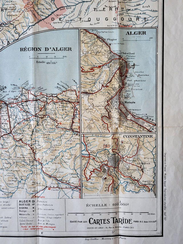
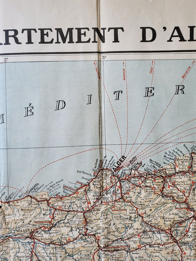
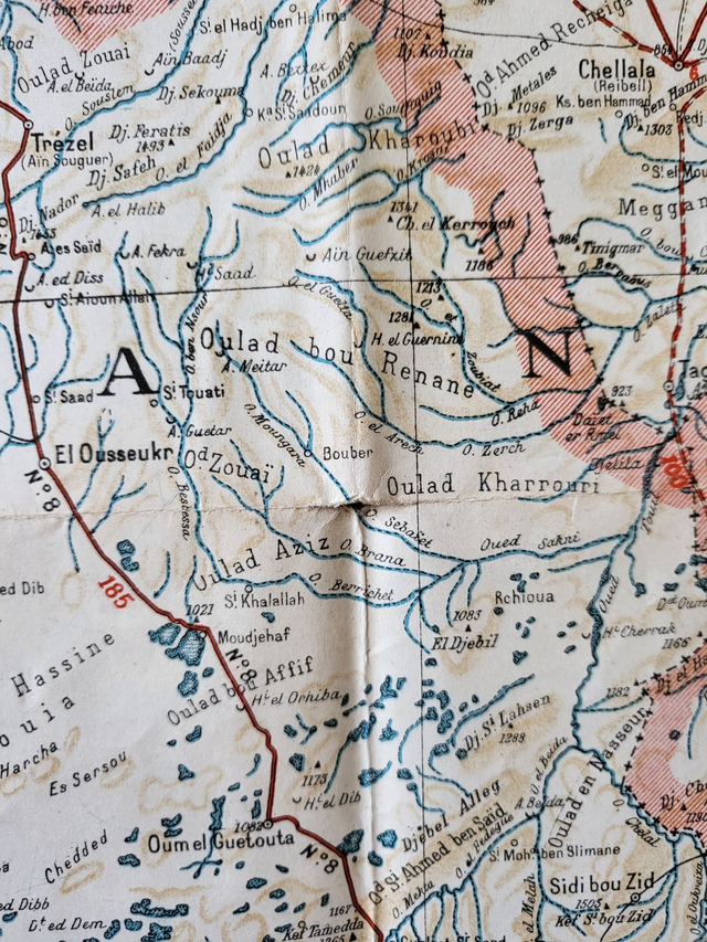
'Département d'Alger'
This French map covers the area around the capital city of Algeria. It was published by Taride in circa. 1935 and would look great framed and hanging on a wall. When fully opened, it is very large (85 x 65 cm), colourful and detailed.
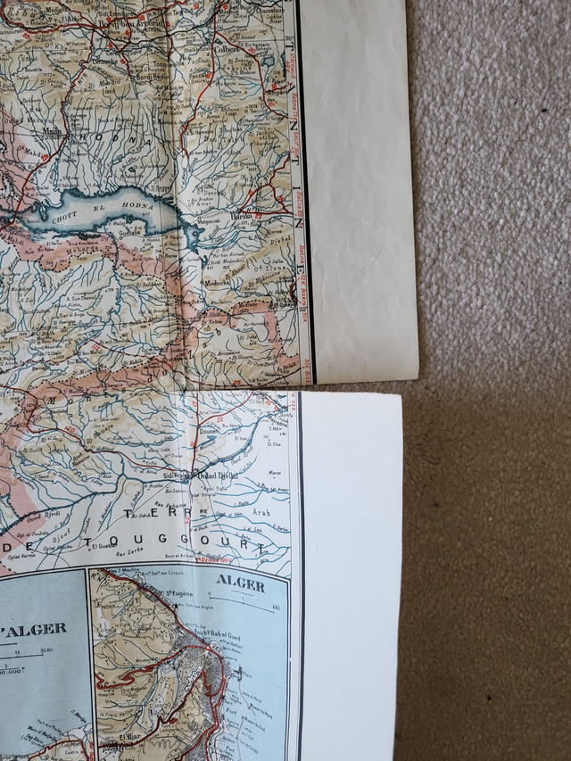
Please note the condition. While the map surface is clear and vibrant, there are some holes at the joints of folds. There are also some small tears along the folds. These can easily be repaired by applying acid-free tape on the reverse.
This map was folded when published and will be mailed in its original format (21 x 11 cm.)
Price = £32
Includes FREE DELIVERY to UK addresses (Royal Mail Tracked 24)
+++
Please note: authentic antique and vintage maps sometimes have minor blemishes such as: foxing; folds; creases; and stains. Please check the photographs carefully before ordering.
'Département d'Alger'
This French map covers the area around the capital city of Algeria. It was published by Taride in circa. 1935 and would look great framed and hanging on a wall. When fully opened, it is very large (85 x 65 cm), colourful and detailed.
Please note the condition. While the map surface is clear and vibrant, there are some holes at the joints of folds. There are also some small tears along the folds. These can easily be repaired by applying acid-free tape on the reverse.
This map was folded when published and will be mailed in its original format (21 x 11 cm.)
Price = £32
Includes FREE DELIVERY to UK addresses (Royal Mail Tracked 24)
+++
Please note: authentic antique and vintage maps sometimes have minor blemishes such as: foxing; folds; creases; and stains. Please check the photographs carefully before ordering.
Share