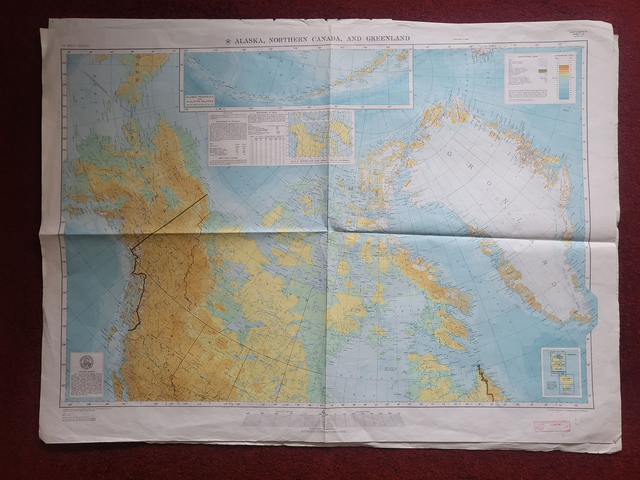
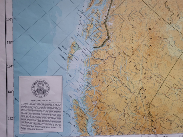
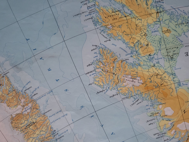
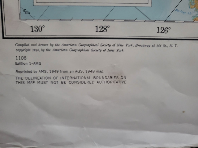
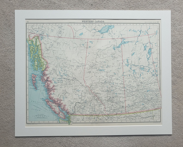
Alaska, Northern Canada, Greenland
£32.00
REF = 17996
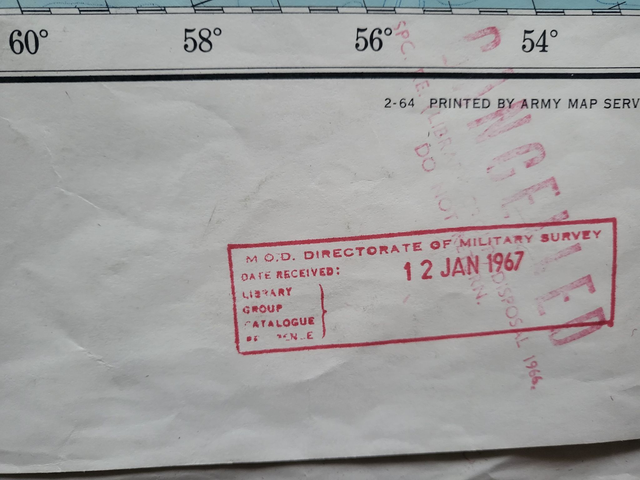
This authentic vintage map was published by the (US) Army Map Services, Corps of Engineers in 1949.
With dimensions of 120 x 88 cm, this map would look exceptional when framed and hung on a wall.
The map will be folded along the natural lines and posted in a board-backed envelope.
HINT - if you want to frame this map, you can reduce the creasing by ironing the reverse. Obviously, you need to keep the iron moving and do not leave it unattended. But you can remove many of the creases by treating it as you would a piece of fabric.
Price = £32
Includes FREE DELIVERY to UK addresses (Royal Mail)
+++
Please note: authentic antique and vintage maps sometimes have minor blemishes such as: foxing, folds, creases, and stains. Please check the photographs carefully before ordering.
Share